
Spatial Analysis
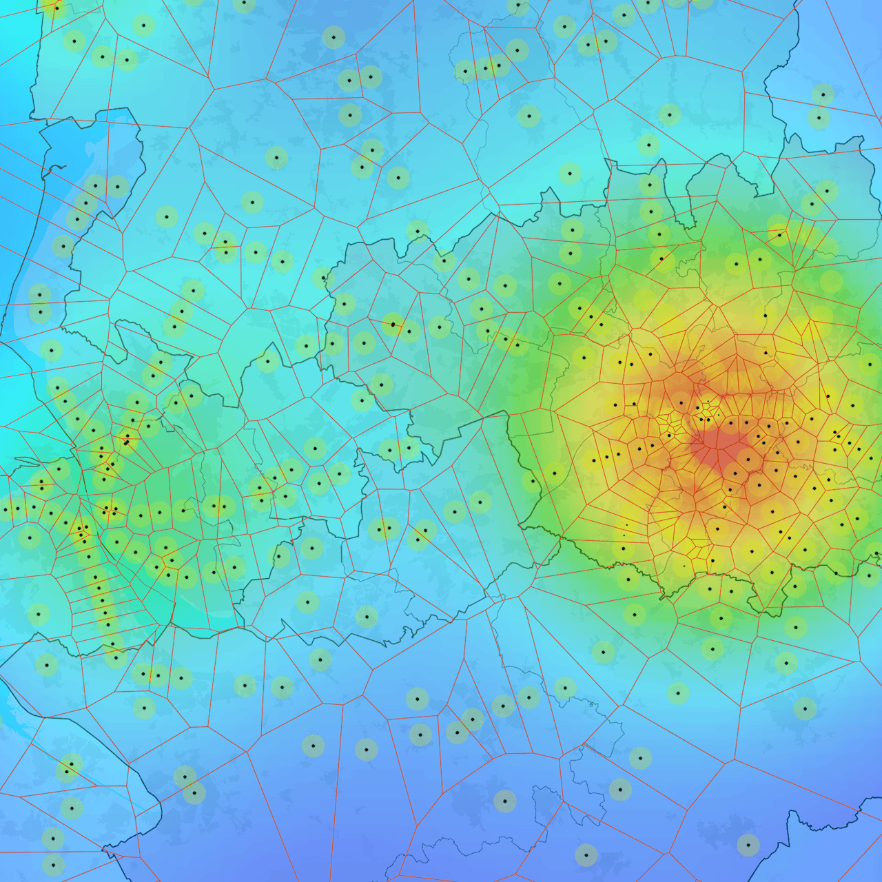
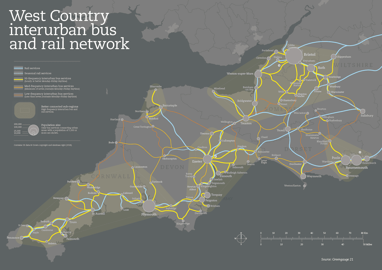
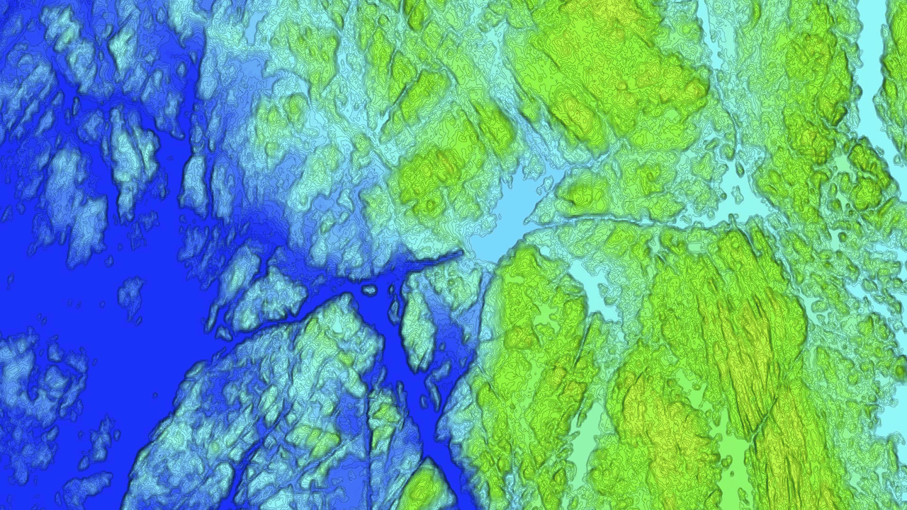
Many projects involve some intermediary spatial analysis, often to interrogate and understand source data as working ouputs only, though can also be employed to create outputs for publication and dissemination. Various techniques can be used to test hypotheses and/or reveal knowns and unknowns. For example, the above uses a 1600m (20 minute walk) buffer around train stations, along with a kernel density map (KDM) and Voronoi lines to reveal the density of provision and likely catchments of customers.
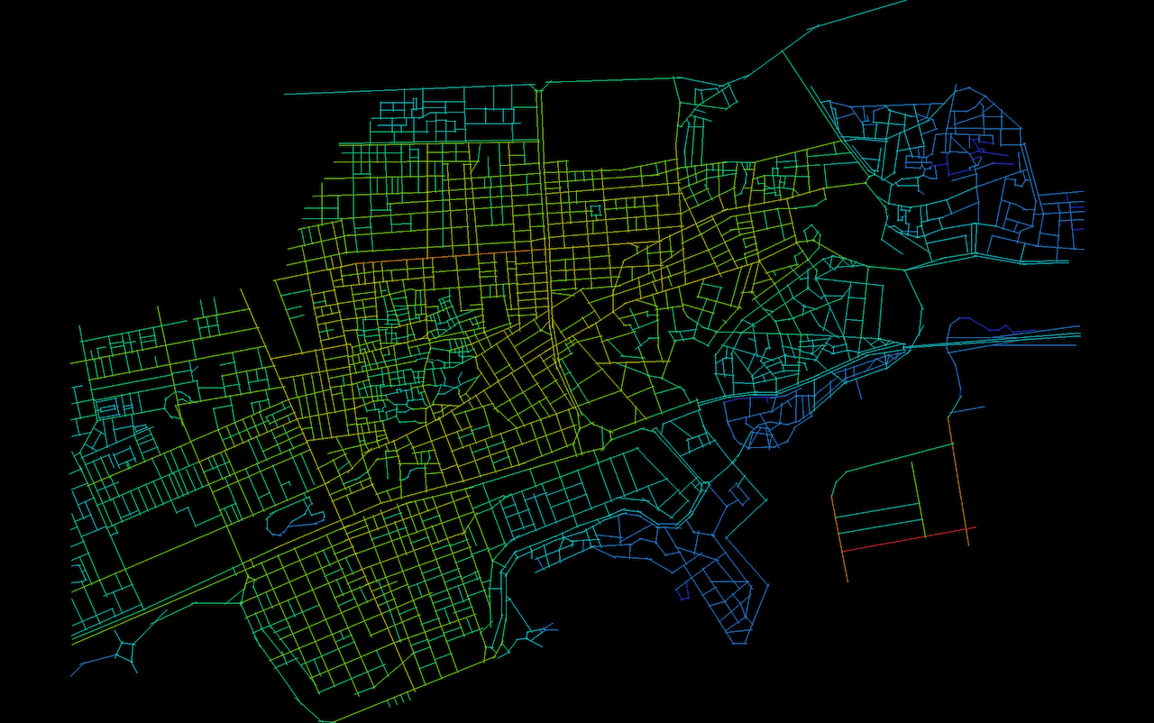
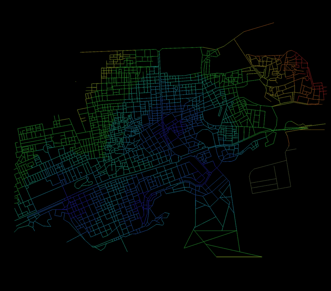
Space syntax is a theory of space and a set of analytical, quantitative and descriptive tools for analysing the layout of space within buildings and in small and large urban environments. It is partcularly useful in wayfinding projects and where movement is aprevalent theme. It can provide useful visualisations around the themes of visibility (isovists), accessibility, connectivity, integration, and intelligibility, all of which help with the map design, sign design and type, and location planning.
These are just a few examples of spatial analysis-focused works, with many more types also undertaken, though often not for public consumption. Get in touch for a no-obligation discussion as to your requirements and objectives.
Note: Images not to scale.