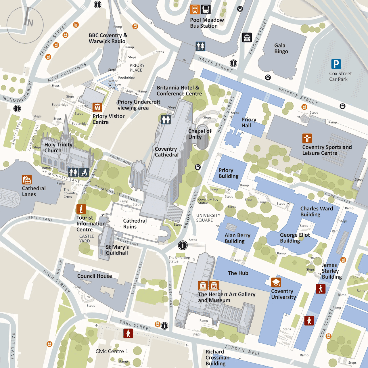
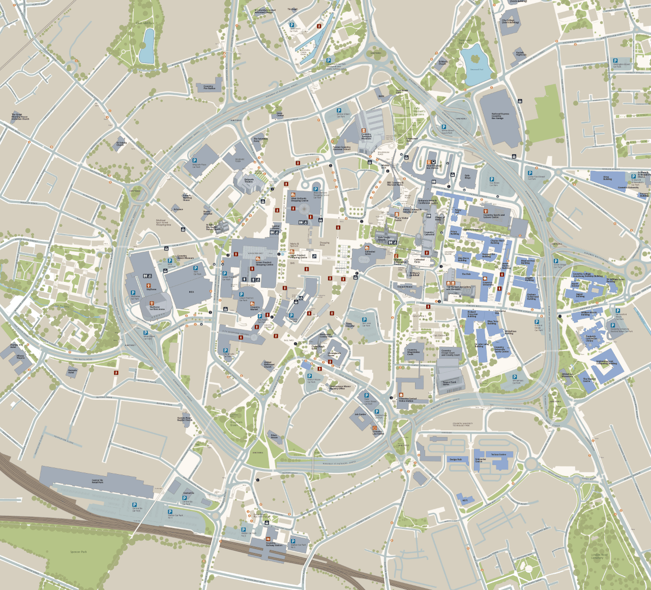
Coventry Wayfinding Map
Cartography Wayfinding

Jason was commissioned by ONE Digital Signage, on behalf of Coventry City Council, to design and produce wayfinding mapping for interactive totems in the city centre. A preliminary draft of the mapping was provided by the authority, but it required updating, reworking, and restyling to accommodate FHD (1920×1080px) screens, which have relatively low resolution for mapping purposes. Additionally, Jason created a series of 3D landmarks to be displayed on the map. A simplified version was also developed to facilitate the definition of cross-city walking and cycling routes.

NB. Images shown are not to scale.