Bologna Wayfinding Map
Cartography Wayfinding

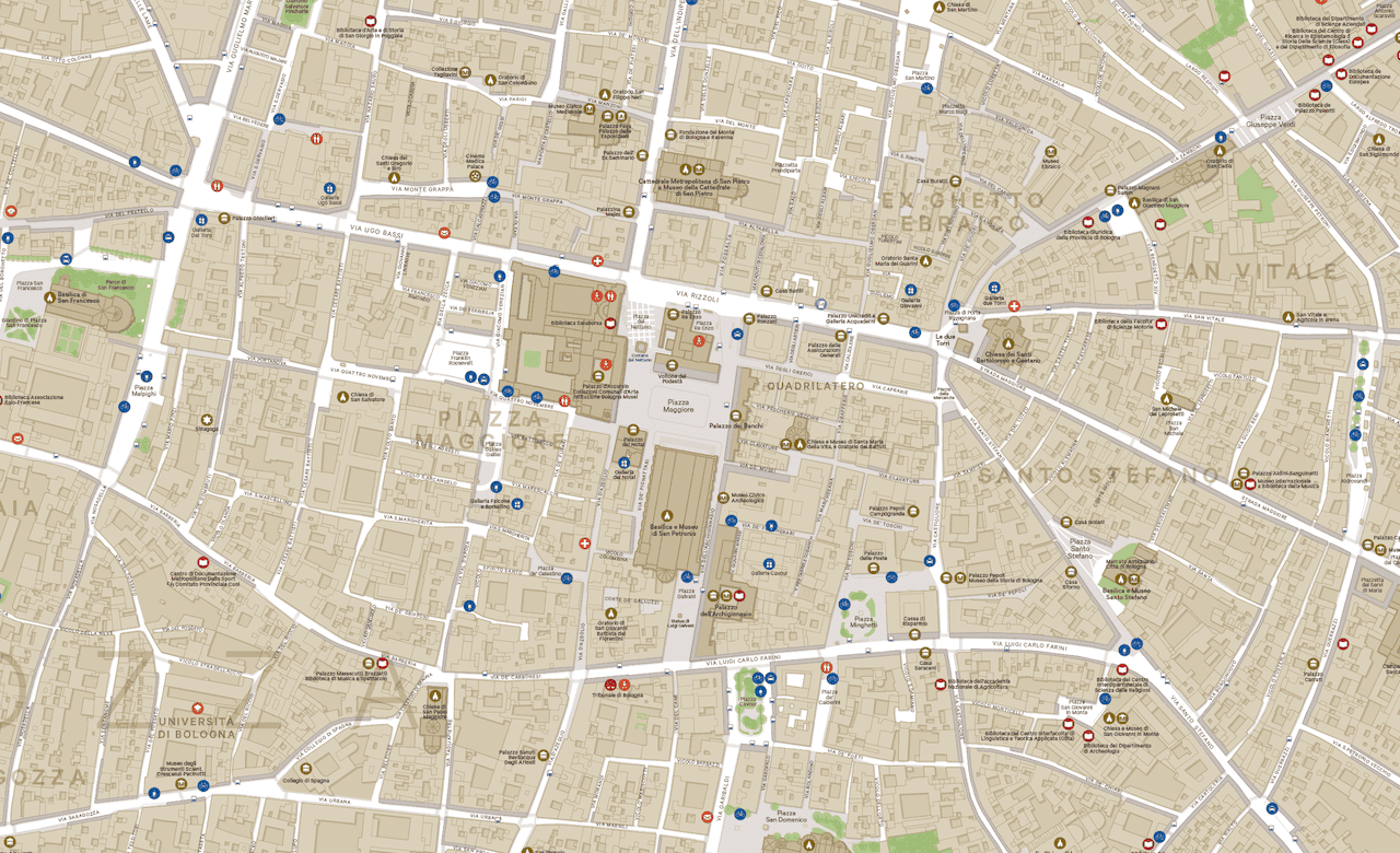
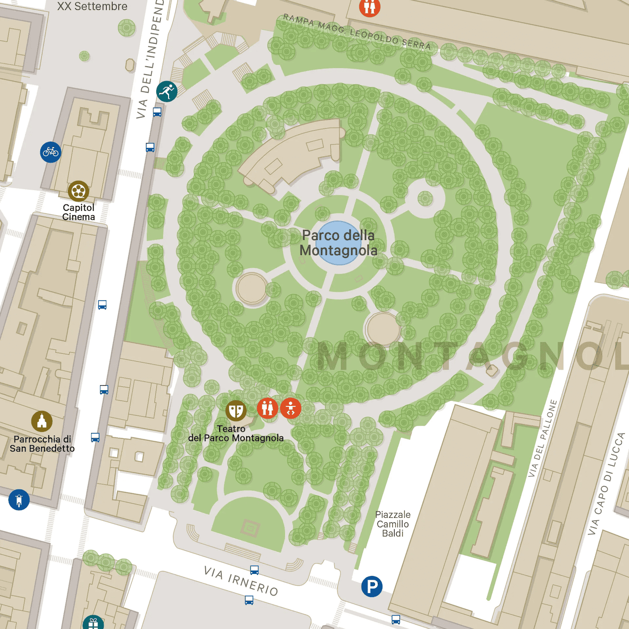
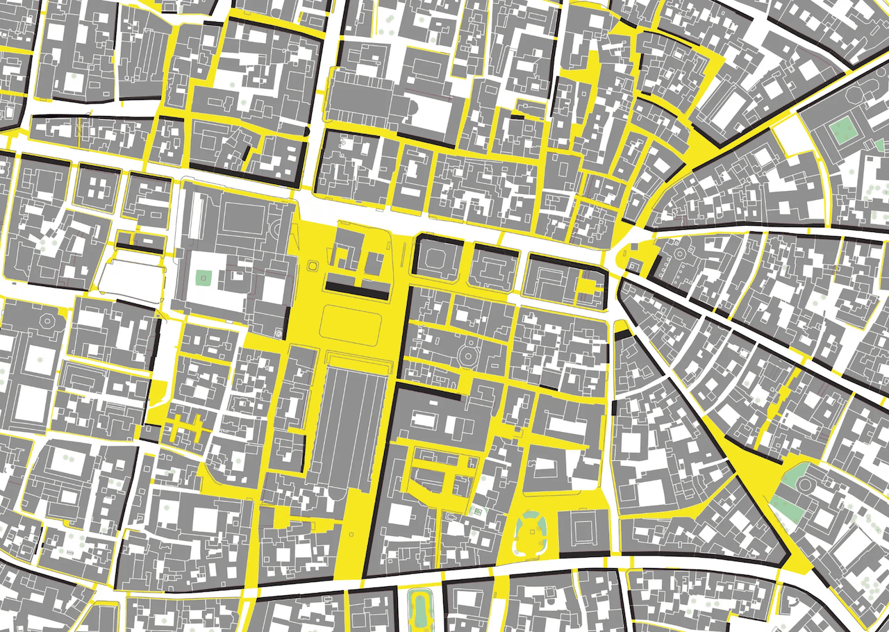
Steer Davies Gleave (now Steer) commissioned Jason to design and create a wayfinding map of the historic core of Bologna. Utilising open-source and local authority-held data, the map was meticulously compiled and designed to accurately reflect the city’s unique urban morphology. The primary objective was to facilitate visitors in exploring the city’s rich architectural and cultural heritage. A comprehensive array of pictograms was meticulously developed to complement the typographic and graphic elements of the map.


NB. Images shown are not to scale.