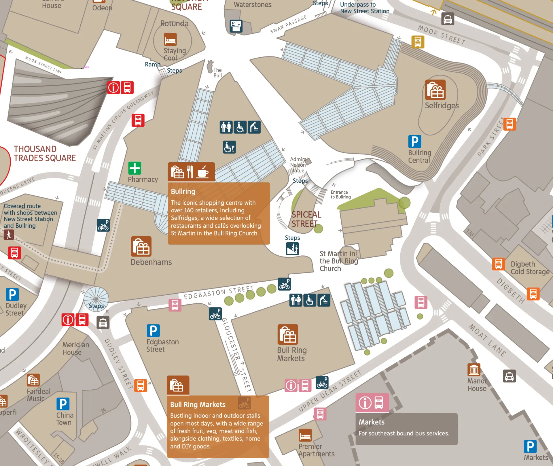
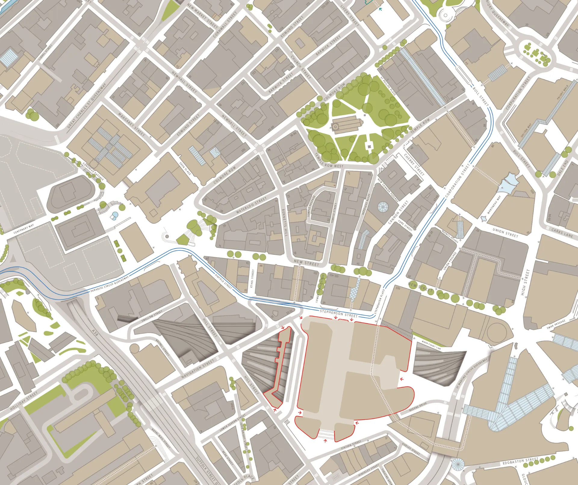
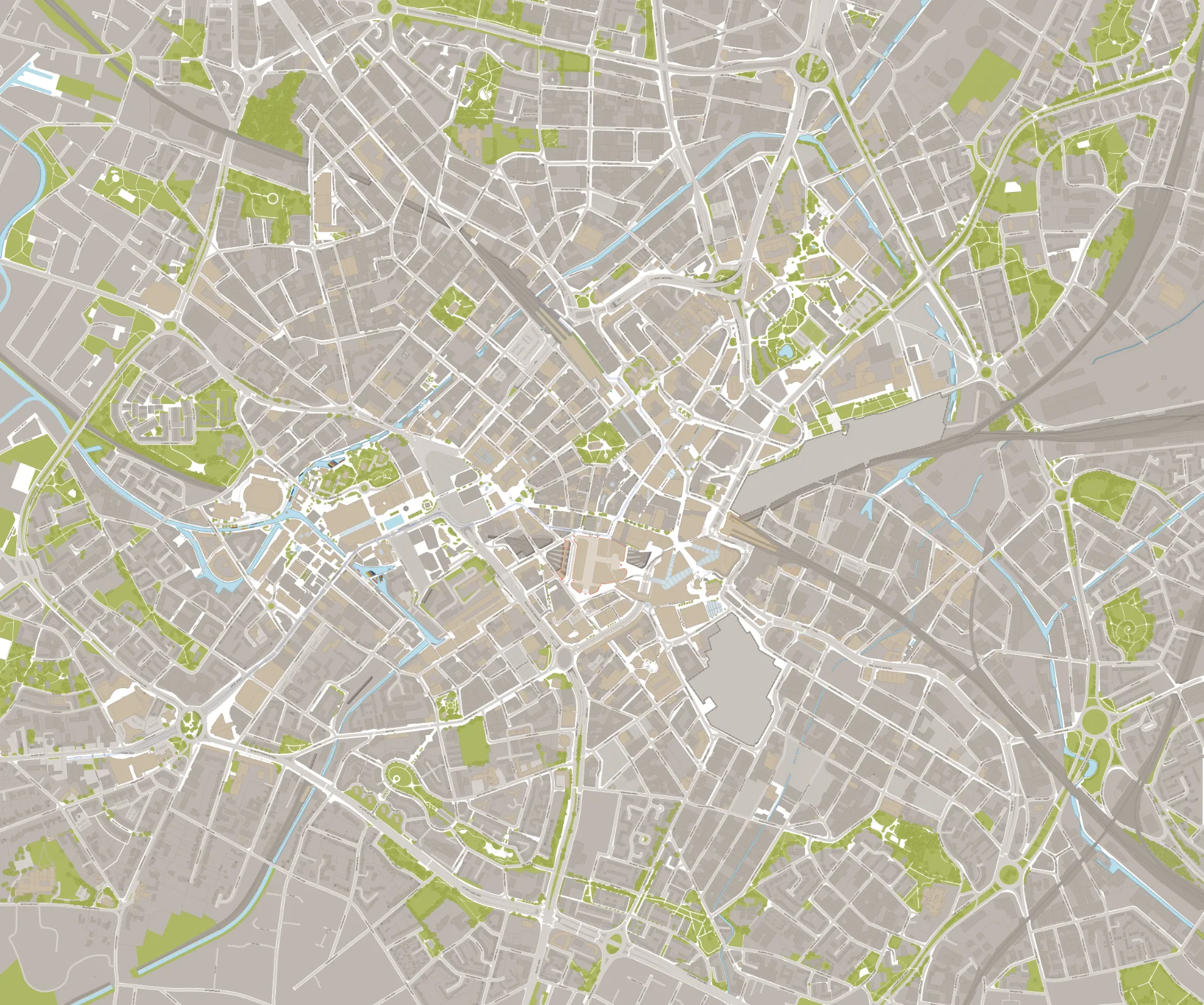
Birmingham Interconnect Map

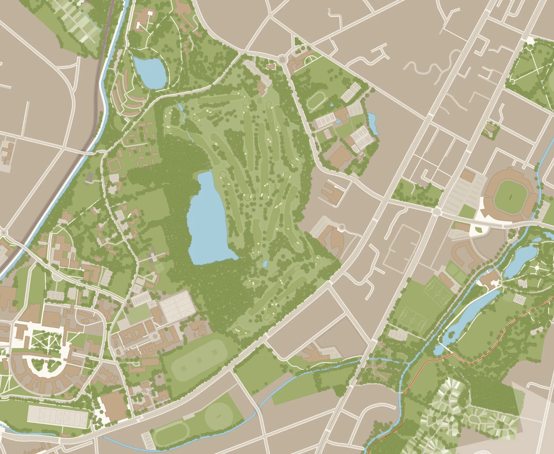
Jason was originally contracted in 2012 by City ID, ‘the place experience consultancy’, to create a detailed and large-scale map of Birmingham city centre. for the Birmingham Interconnect project; integrating wayfinding for pedestrians and cyclists with the public transport network. The mapping was derived from orthocrectified aerial imagery, with on-street verification. Over 15km² was mapped from scratch. Over the years, Jason has undertook extensions to the base mapping, notably to Edgbaston, and a wider series of updates, as required for the Commonwealth Games in 2022.


