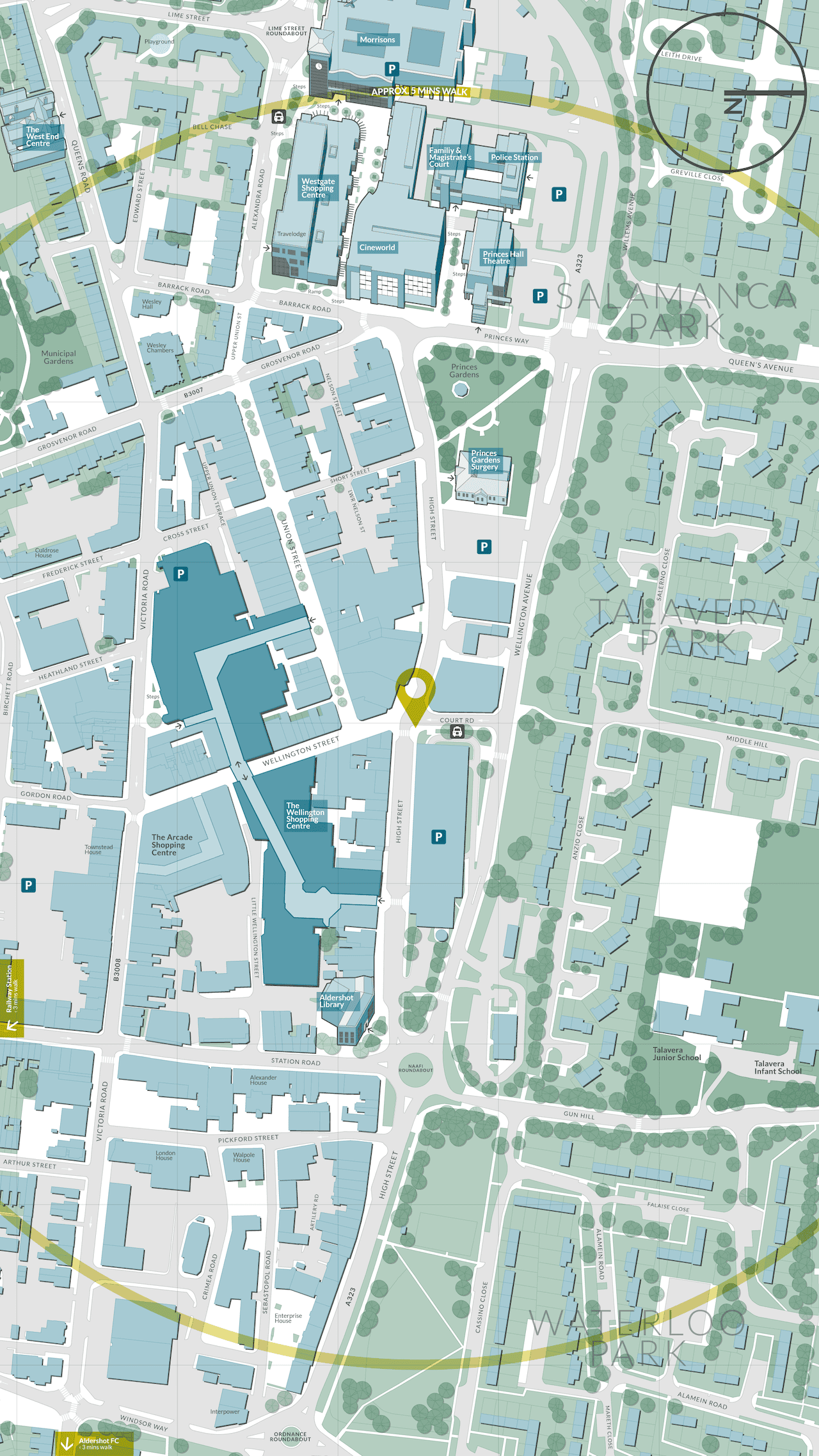
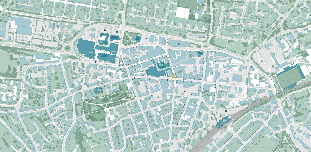
Aldershot Wayfinding Map
Cartography Wayfinding

Jason was commissioned by ONE Digital Signage, on behalf of Rushmoor Council, to design and produce mapping for interactive totems in Aldershot town centre. The local authority was licensed to use Ordnance Survey (OS) topographic data for this application, enabling Jason to create a highly accurate and detailed map. Additionally, Jason incorporated the integrated transport network (ITN) as a layer, including footpaths, pavements, and crossings, to enable automated route planning for pedestrians. The colour palette was informed by the brand guidelines of the authority. Furthermore, Jason created a number of 3D landmarks. The artwork was designed to appear as heads-up messages in each location where there was an interactive totem; there were a total of 10 totems, and the design was intended to be as legible as possible within the constraints of a FHD (1920×1080px) screen.

NB. Images shown are not to scale.