Insights
An expanding repository dedicated to highlighting core concepts and techniques in cartographic abstraction.

An expanding repository dedicated to highlighting core concepts and techniques in cartographic abstraction.
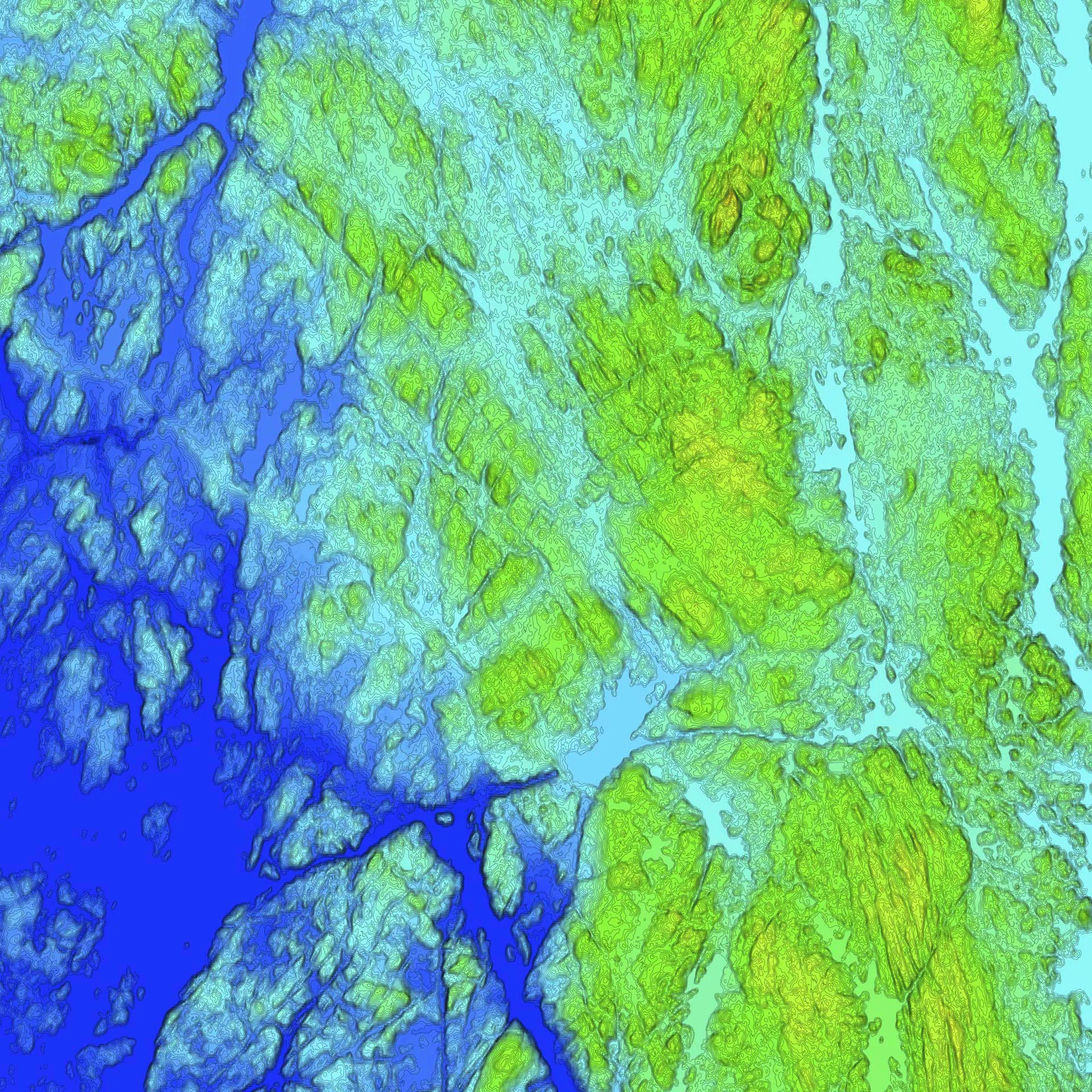
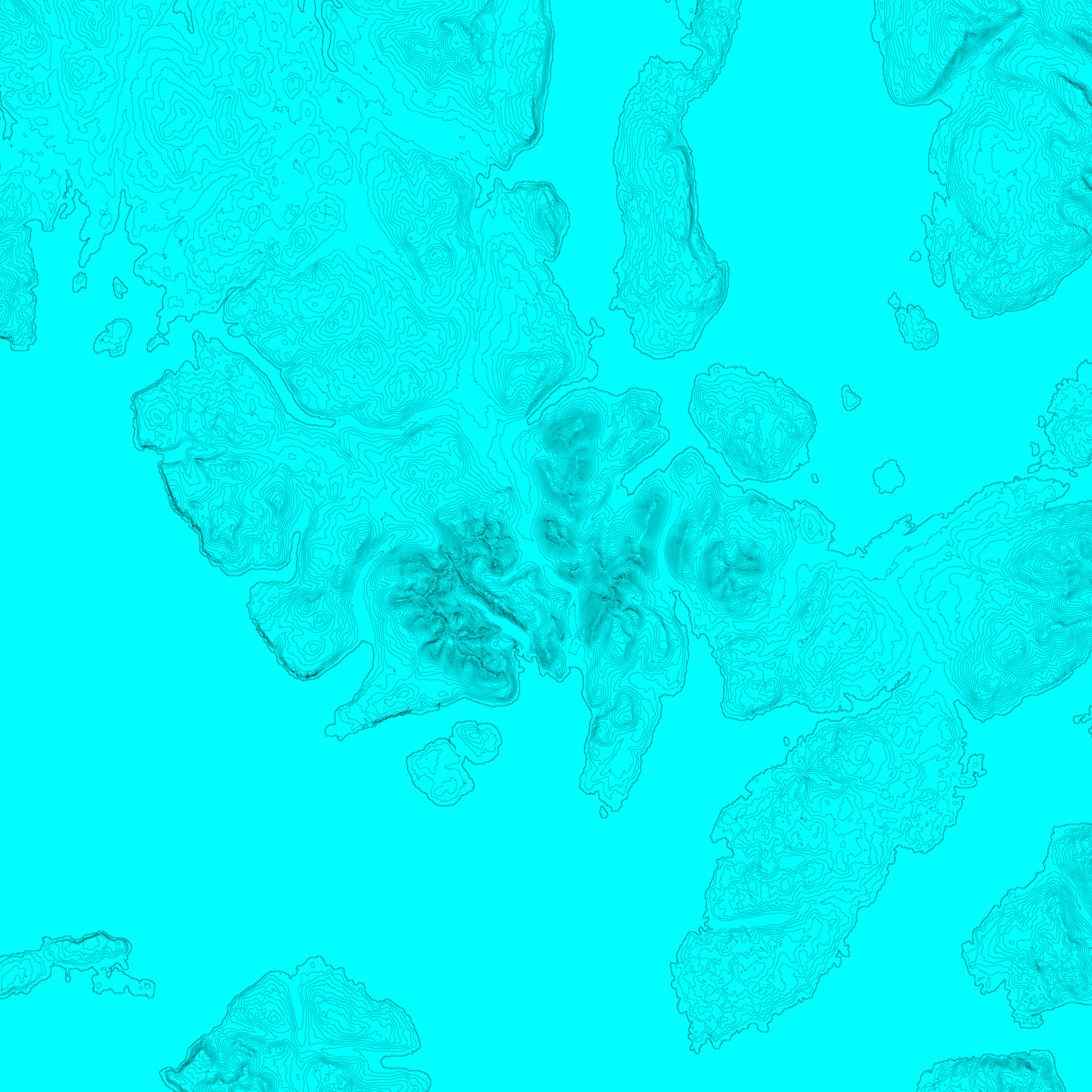
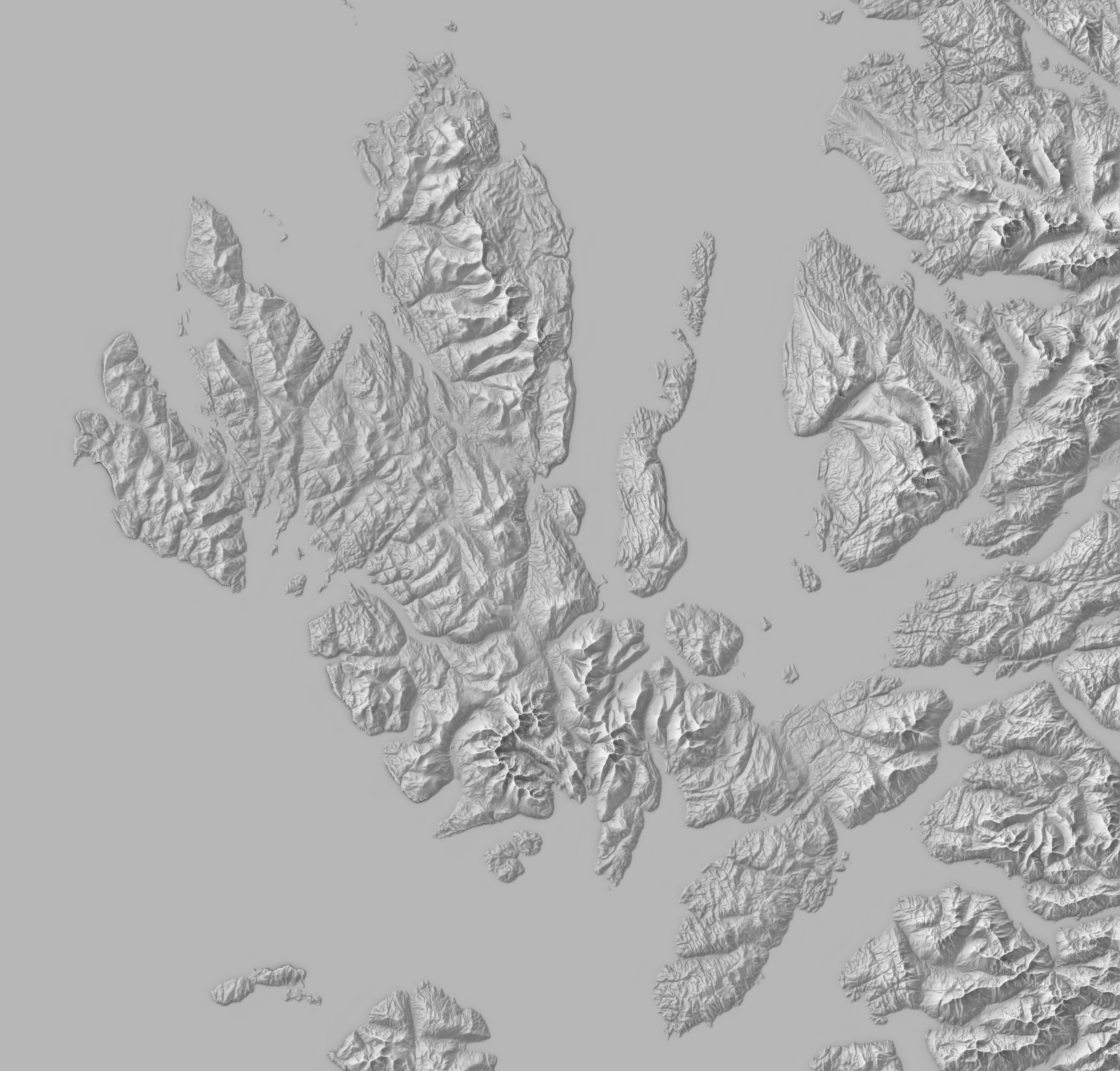
One of the purest forms of cartographic abstraction, yet so readable and revealing of landscape. The Cuillins and Blà Bheinn on the Isle of Skye, Scotland.
The Isle of Skye, Scotland, inspired by the pioneering work of Swiss cartographer, Eduard Imhoff. Done correctly, the ‘Swiss style’ has a subtlety and beauty lost on the grossly exaggerated and unrealistic relief maps that we see endlessly repeated on social media.

Glasgow, Scotland. A common technique in architectural, urban design and town planning practice. A simple but revealing representation of built form. The focus is on pattern and density. The city centre is self-evident and the course of the River Clyde reveals itself through its absence.
A fundamental tenet to much cartographic practice. It provides a mathematical framework to represent and analyze maps. Applying this network topology to a map enables the calculation of themes such as isolation, adjacency and connectivity.
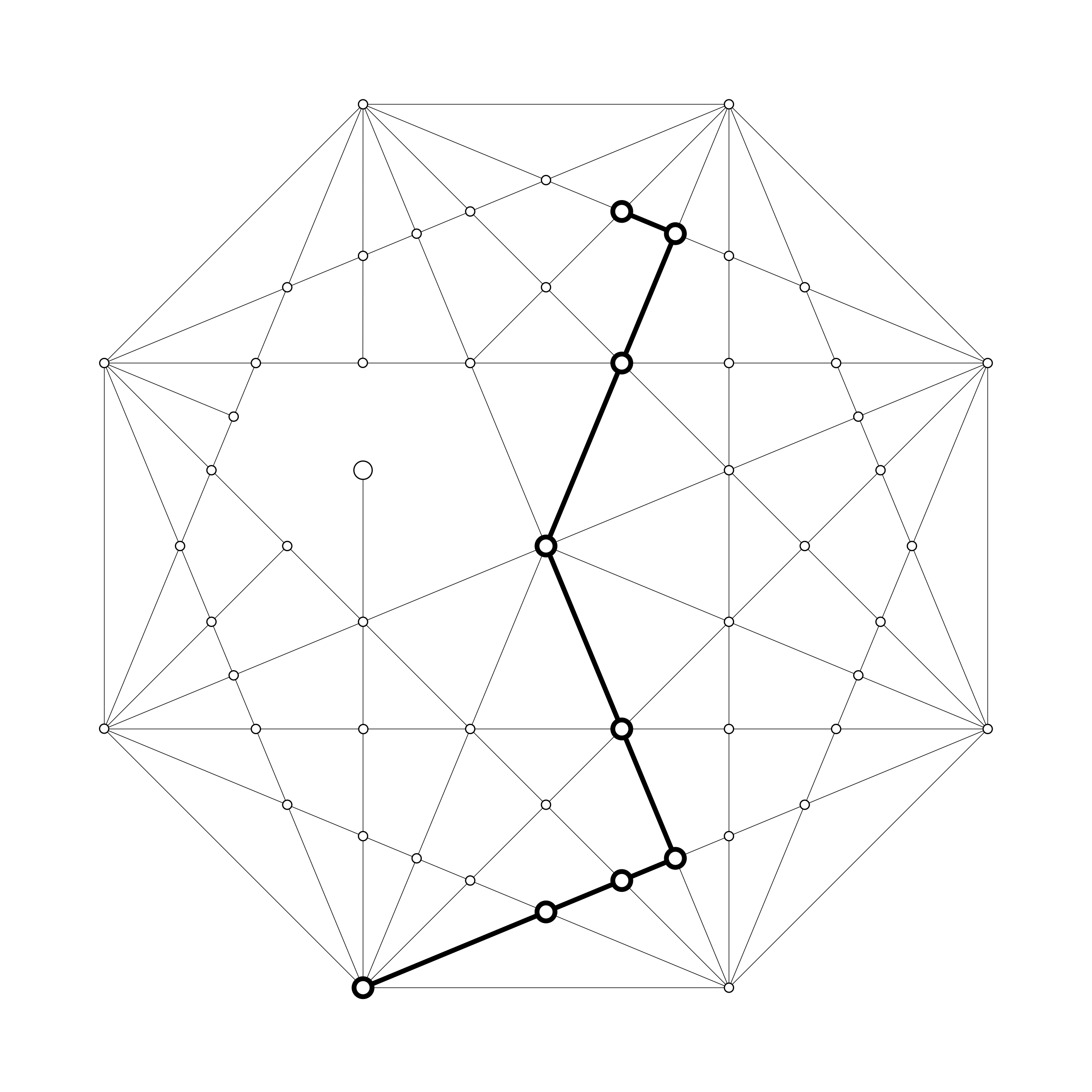
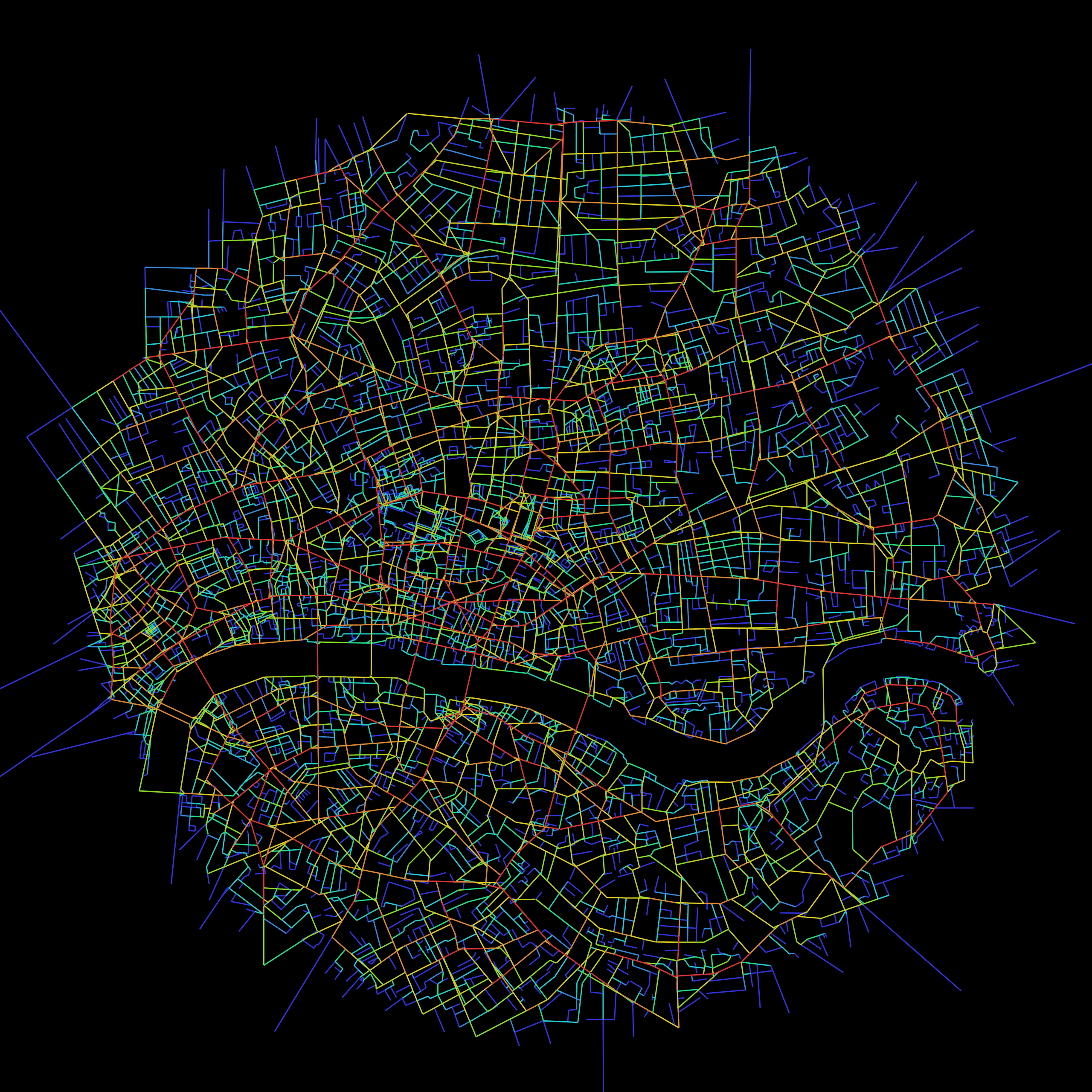
A direct application of graph theory, Space Syntax is a methodology for analysing space in terms of its network of connections and spaces, applying that to accessibility and movement, land use and economy, and other human interactions with space.